DRONE MISSION PLANNING AND FLIGHT CONTROL SOFTWARE BY AERMATICA3D

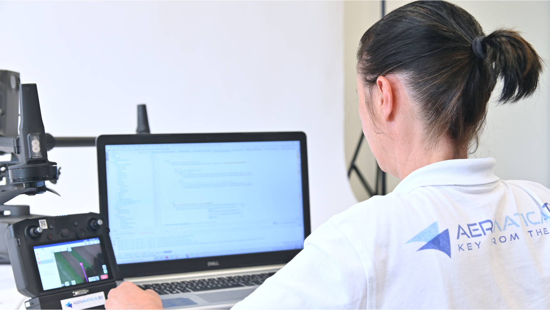
The application developed by Aermatica3D is able to eliminate the distance between any payload and drone, packaging a single product for flight planning, the vision of the status, and management of the payload: from data acquisition to the distribution of products.


BLY3D allows you to carry out many operations with its own integrated payload and with Aermatica3D products and be open to specific customizations.


  • Secure Login Pilot and Operator
  • Management of partial flight missions
  • Creating the flight report in standard formats
MANAGE DIFFERENT FLIGHT MODES

Plan and manage different flight modes with BLY3D in a simple, automatic and customizable way. The BLY3D app allows you to carry out flight missions on Vertical Walls to rotate around specific points of interest with the Circular Orbit mode. For 3D flight plans, you can use the Multilayer mode to sample the area at predetermined altitudes; moreover, at the end of the flights, the FOVs of the captured photos/videos are tracked in the kml of the report.


With BLY3D, it is possible, by importing public or drone-generated digital terrain models (DEM) (with configurable take off), to visualize the altimetric trend and follow the digital profile of the terrain (DEM) to make flights at constant altitude on the ground even in non-flat scenarios.

READY TO BLY

BLY3D is a ready-to-use app designed to be programmable directly in the field even without the aid of a computer and allows you to keep track of all the interventions thanks to a simplified software interface with integrated reporting that keeps track of all the flights made, with take-off and landing points in line with the latest ENAC regulations. This brings significant advantages in terms of simplification, speed and practicality of use.

  • Automatic flight paths based on the selected area and the parameters set.


  • Coordinate measurement and instant sharing of the pointed position from the camera and share the information via Mail and


  • Management of standard software interface with integrated reporting with logs of all flights with  take-off and landing


  • Pilot logbook and report integrated with standard reporting software (i.e., airdata)
A PERFECT INTEGRATED PAYLOAD WITH BLY3D

Designed to obtain a single dedicated software interface and for use on UAV systems of specific instruments, the BLY3D app is characterized by optimized management of Kits, Sensors, and Cameras. BLY3D is also open to further development and integration according to the customer’s specific requirements, useful for any type of application.

RELIABLE DATA ACQUISITION

  • Get real-time data during the flight
  • View the status of the payload: “Working – Completed – Problem “
  • Control the payload directly in flight: “Start – Stop”

MANAGE YOUR INTEGRATED PRODUCT


  • Choose the type of kit integrated by the application
  • Schedule deployment parameters
  • Change in-flight distribution parameters
PC FOR MISSION PLANNING WITH GOOGLE EARTH

With BLY3D you can effectively plan each mission by configuring flight plans also on Google Earth from a PC by creating and importing polygons for photogrammetry and multilayer mode or paths to make waypoints and vertical photogrammetry.


Export flight reports in standard format (kml) that certify the acquisition of data at each waypoint during the flight compatible with  any  GIS software  (i.e. ArcGIS) and accept DEM in standard format  (standard format ASC-UTM WGS84).