

Multispectral, thermal, and mapping drone surveys represent innovative environmental monitoring and analysis systems in agriculture. They are based on the possibility of obtaining multispectral images through gas and optical sensors transported by drones
PRECISION AGRICULTURE
Suppose the data acquired by the satellite do not guarantee a suitable resolution and the right frequency of acquisition. In that case, the drone represents the best tool to carry out fundamental analyzes for precision agriculture, as in a simple, immediate, and economical way it is possible to:
- classify vegetation and crops and monitor their state of health, based on biophysical and vegetative parameters, such as NDVI (Normalized Difference Vegetation Index, a multispectral index strongly correlated to chlorophyll content), GNDV (Green Normalized Difference Vegetation Index, one of the vegetation indices most commonly used to determine the absorption of water and nitrogen in crops) and NDRE, useful in particular for identifying any outbreaks of infestation
- identify the different types of land use and the vegetative vigor of crops;
- identify areas characterized by water stress;
- determine the spread of pests or species potentially dangerous for humans and agriculture;
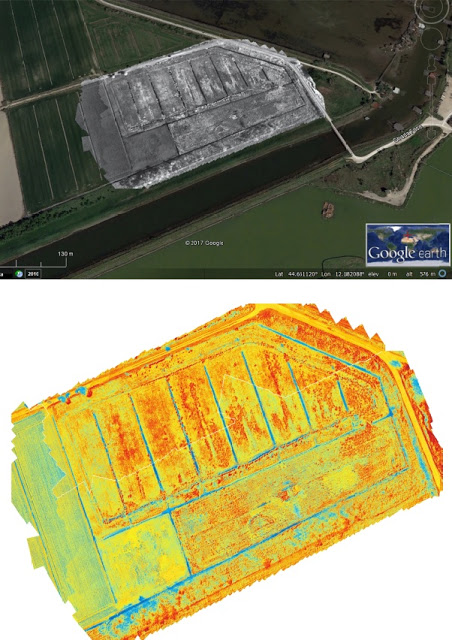
The data processed rapidly generate maps of vegetative vigor essential for locating areas of water stress, areas with poor fertilization, and weeds beneficial for differentiated treatments.
Aermatica3D collaborated with the CNR on the Space4Agri Project to develop innovative aerospace earth observation methodologies to support the agricultural sector in Lombardy).
ENVIRONMENTAL MAPS
Environmental mappings allow you to:
- Obtain easier visibility and identify areas at geological risk, both in situations of stability and, above all, following particularly extreme atmospheric events.
- Assess rivers and floods. River basin mapping and modeling are essential in flood defense programs.
- Evaluate the impact of any new building works (houses, roads, and infrastructures, …) and the safety of existing ones on soils characterized by particular morphology and geological conformation.
- Accurately identify the extent of any environmental damage or the spread of pest species or potentially dangerous for humans and agriculture. Drones can also be used to count the population of rapidly decreasing or even endangered animal species.