DRONI PER RICERCA E SOCCORSO

DRONES FOR RESEARCH AND RESCUE 

Integrated solutions for drones in emergencies

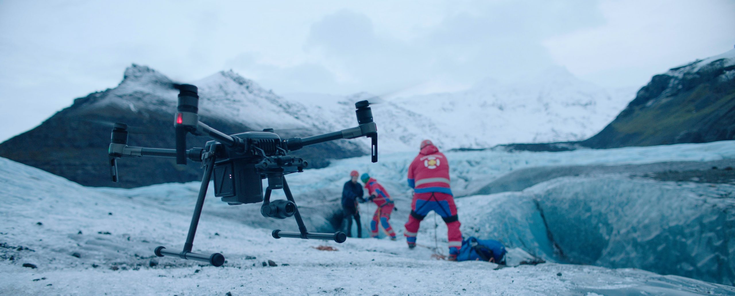
Timeliness and accuracy are fundamental requirements in case of emergencies. The solutions and integrations offered by Aermatica3d can bring significant benefits in search and rescue, guaranteeing simplified, reliable, and high-performance missions.

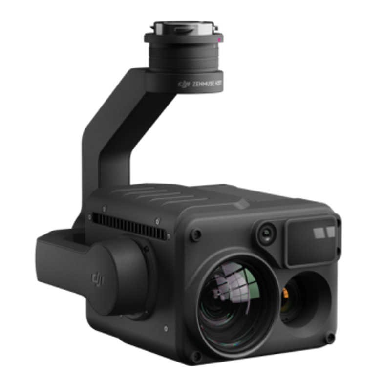
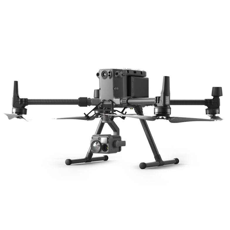
Aermatica3d’s solutions include specific kits and high-precision visible and thermal cameras perfectly integrated into the bly3d app, a fully customizable software with features specifically designed for search and rescue operations.

With the “control center” function, it is possible, for example, to employ multiple pilots in different areas having a single expert able to control each payload directly from his control center, communicate with the pilots on the ground, and show the position pointed by the camera in real-time thus ensuring maximum speed, accuracy, and efficiency at each intervention.

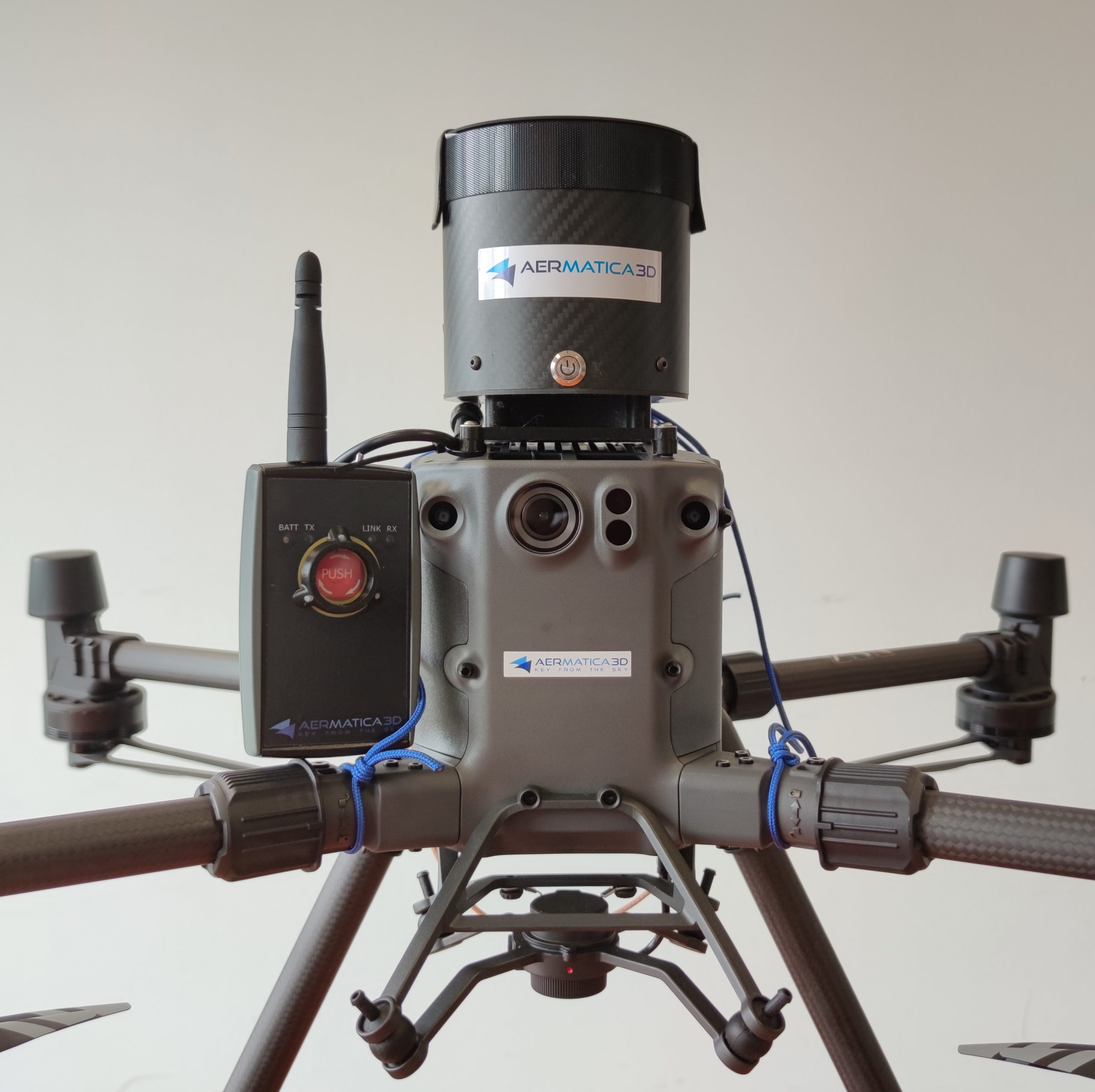
To further extend the usage scenarios, aermatica3d has also developed, flight terminator – FTS (flight termination system), a safety device that ends the flight in case of system problems – which enables the critical scenarios issues required by ENAC without altering the design characteristics of the drone and without interfering with the drone on-board systems.

FIRE AND NATURAL DISASTER

Aermatica3d’s solutions in the field of drones and its integrations are beneficial for:

  • Make low flights and quickly understand the situation.
  • Define the intervention areas based on thermal data.
  • Identify, in areas most obscured by the density of the fumes, the presence of people to be rescued thanks to thermal imaging cameras.
  • Monitor the work of the teams by evaluating the needs and types of intervention.

Natural disasters such as fires, avalanches, or earthquakes require an immediate circumscription of the area by identifying the areas that need rapid intervention without wasting means and resources sent to the site.

GLACERS AND MOUNTAIN AREAS

The use of drones in mountainous areas brings significant benefits to operators who make use of the solutions proposed by aermatica3d for:

  • Geological monitoring of slopes and landslides in complex areas, obtaining a detailed picture of slope movements.
  • The search and rescue of missing people, thanks to the high-resolution thermal imaging cameras.
  • Monitoring in safety operations of the mountain environment such as controlled explosions of landslides or avalanches.
PUBLIC SECURITY

Aermatica3d collaborates with public safety operators who use our solutions and integrations useful in various areas such as:The control of the territory by guarding sensitive and risky places by monitoring any critical issues through the use of very high-resolution video cameras;

  • Reconstruction of road accidents through the collection of drone data sent quickly on the spot;
  • The inspection of industrial sites with drones operated by security systems and capable of keeping the target on the moving target;
  • Verify the state of public works such as railways, bridges, tunnels, hydraulic works such as dams, or the arrangement of watercourses and oil pipelines containing potentially dangerous hydrocarbons for the environment and public health.

DISCOVER OUR PRODUCTS

Sensore camera H20
FTS 300 Paracadute
DRONE Matrice 300_rtk_h20@2x (1)