Benefits:
- Integrated reporting of all flights with takeoff and landing points.
- Coordinate measurement and immediate sharing of the camera's position.
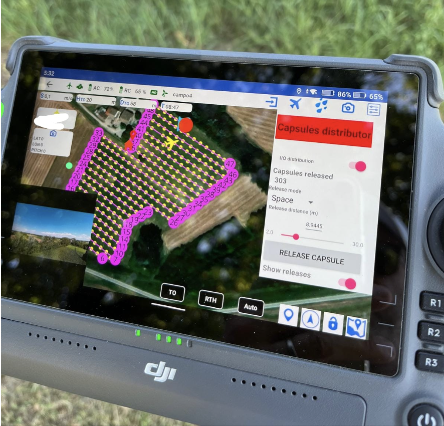
- Automatic flight paths based on the selected area and set parameters.
- Various modes: vertical walls, circular orbit, multilayer...
With BLY5D, you can import public or drone-generated digital terrain models (DEMs) to view the elevation profile and follow the digital terrain profile for constant-level flights over the terrain.