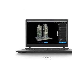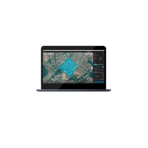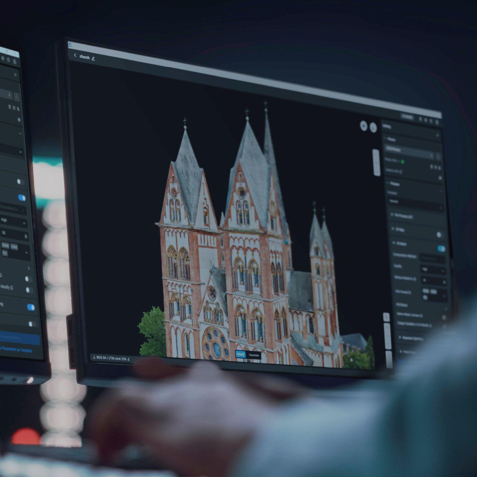
DJI Terra software is the ideal solution for topographic surveys, agricultural mapping, and environmental monitoring, ensuring precision, efficiency, and direct integration with DJI Enterprise drones.
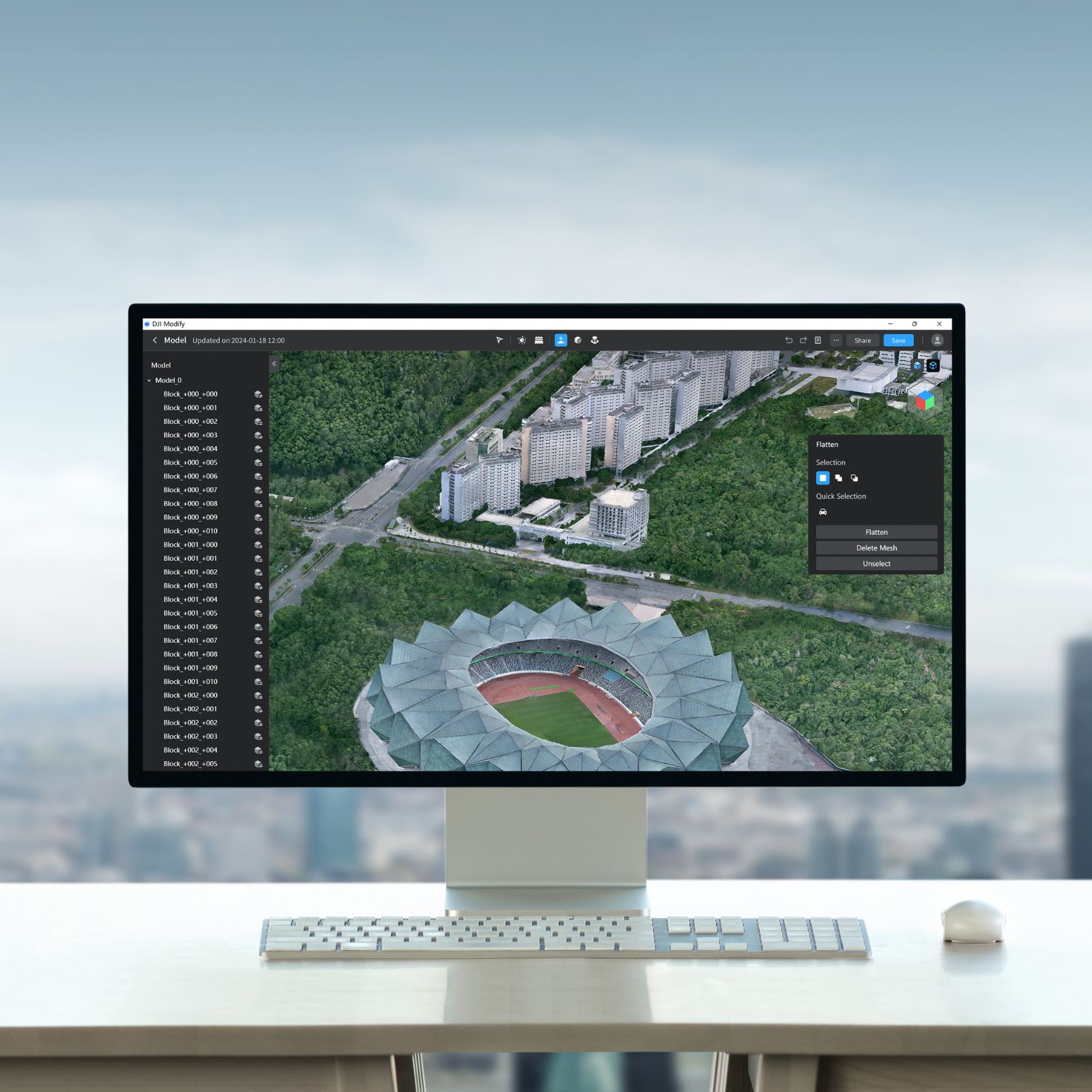
Advanced editing of 3D meshes and point clouds
Automatic surface correction and filling of missing areas
Tools for cropping, scaling, and simplifying models
Direct integration with DJI Terra and compatibility with standard 3D formats
Optimized workflow for GIS, BIM, and surveying users
With DJI Modify, you can obtain clean, precise, and ready-to-use 3D models (e.g., CAD), simplifying work on surveying, construction, and infrastructure inspection projects, perfect for architects, designers, and BIM specialists.
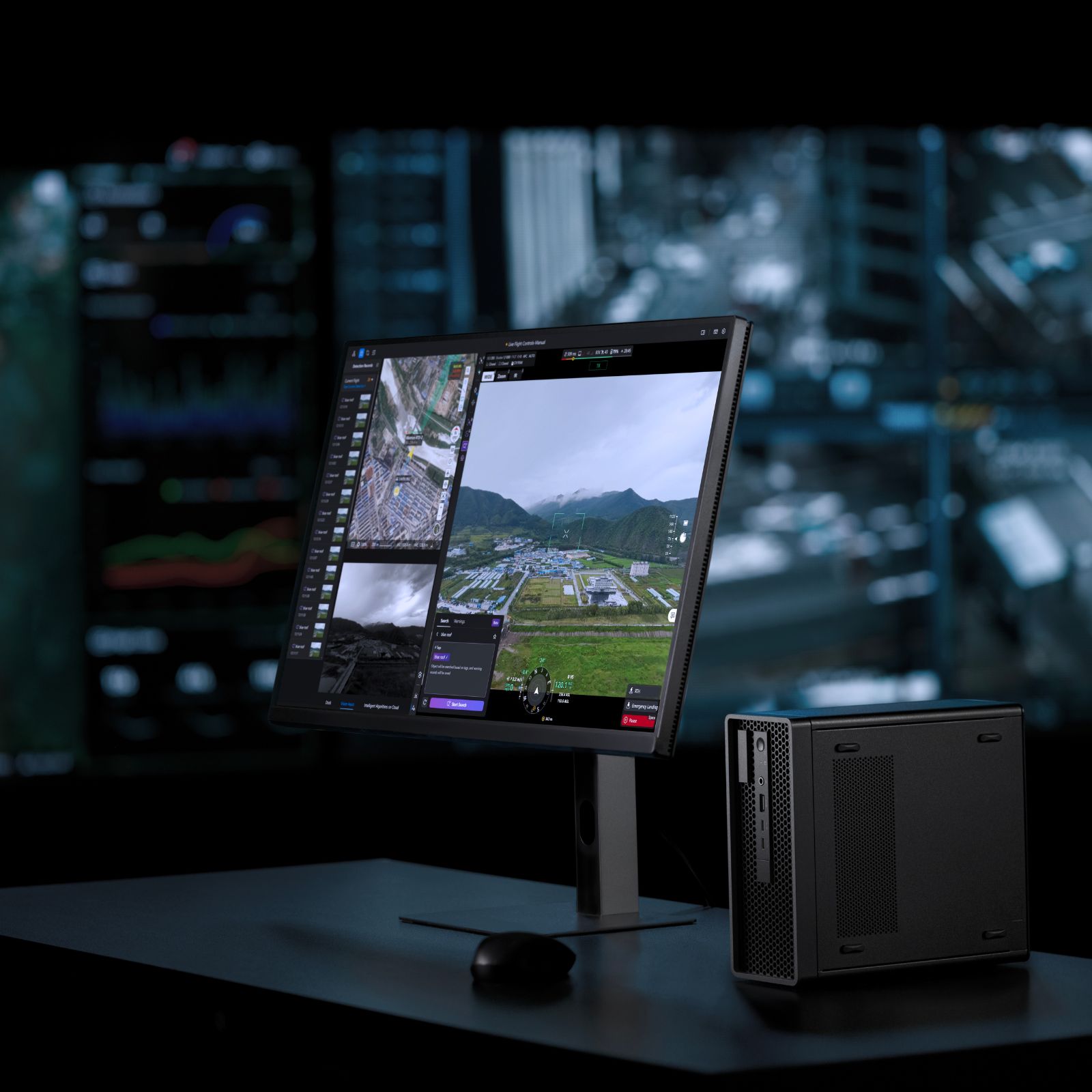
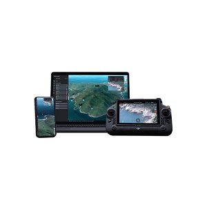
Real-time visualization of drones, 2D/3D maps, and mission data
Full compatibility with DJI Dock 3 and remote operations
Live annotations, waypoints, and automatic data synchronization
Secure cloud sharing with the operations team
Support for DJI Enterprise drones and payloads
With DJI FlightHub 2, operations management becomes more efficient and collaborative, ideal for companies operating multiple drones in industrial, agricultural, or public safety settings. It offers advanced tools for mission planning, live monitoring, and data analysis.
Showing all 13 resultsSorted by latest