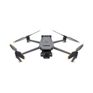
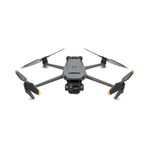
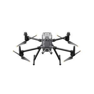
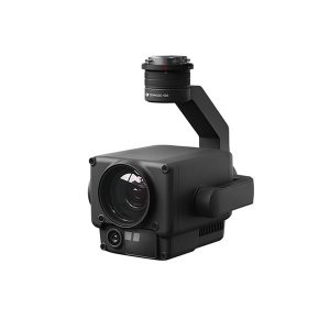
Drones are the most effective tool for precision agriculture, allowing you to quickly:
Aermatica3D has also collaborated with the CNR on the Space4Agri project, dedicated to the development of innovative Earth observation methodologies for precision agriculture.

Environmental mapping with drones allows you to:
Showing all 19 resultsSorted by latest