

Aermatica3D becomes the official reseller of remote sensing systems for Headwall Italy
Aermatica3D is very pleased to become official reseller of remote sensing systems for Headwall, in Italy. Founded in 2003, Headwall is a global leader with facilities and partners around the world, providing spectral solutions for commercial users with critical, application needs.
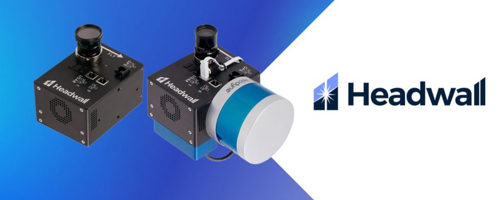
Headwall focuses on the acquisition and exploitation of reflected light for commercial and government customers working in remote sensing, industrial machine vision, and their own OEM instrumentation markets. The Company provides:
Integrated hyperspectral imaging solutions
Spectral imaging sensors
Raman imaging spectrographs and OEM subassemblies
Diffraction gratings and optical modules for OEM customers
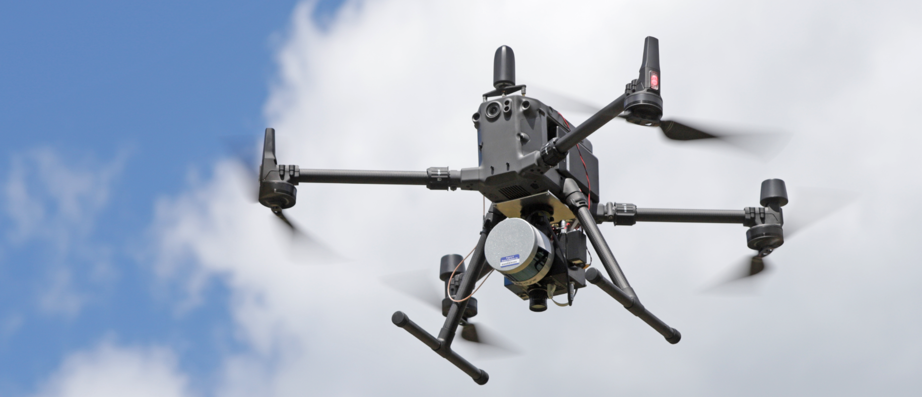
Headwall’s hyperspectral imaging sensors are used aboard a variety of UAS platforms, including models by DJI Enterprise and FreeFly. Headwall professionally integrates and tests every airborne package it sells. This includes putting the package through a range of data-collection and data processing exercises to assure the highest performance and most reliable operation.
Precision Agriculture
High-spectral-resolution sensors represent a game changer, since they can spot crop stress before symptoms become visible to the naked eye. Phenotyping benefits from increased the increased precision these sensors offer.
Earth Observation
Lightweight Commercial Off-The-Shelf (COTS) sensors or subassemblies for use aboard small satellites or even constellations of Low-Earth-Orbit (LEO) satellites enable high-performance imaging with low risk.
Mining
Data fusion using hyperspectral and 3D LiDAR data can enable increased operational efficiency, as well as important safety benefits.
Environmental Monitoring
Even subtle changes over time can be detected. Capture imaging data even from difficult-to-access areas using portable drone systems with rugged payloads containing powerful sensors suited to the task.
Resource Exploration
Hyperspectral-and-LiDAR drone payloads offer convenient deployment and accurate classification of minerals from the air or in the field made possible using spectral regions most appropriate for the task from UV to VNIR to NIR to SWIR.
Infrastructure Inspection
Bridges, dams, railways, pipelines, and even asphalt on busy airport runways need to be inspected. Drone-based hyperspectral imaging collects data over the spectral range you need in order to identify signs of corrosion or leaks while reducing risk to personnel.
Learn more about Headwall remote sensing systems here